FIG Commission 5 and 6 and SSGA Workshop on “Innovative
Technologies for an Efficient Geospatial Management of Earth Resources”
Listvyanka, Russian Federation, 23-30 July 2009
|
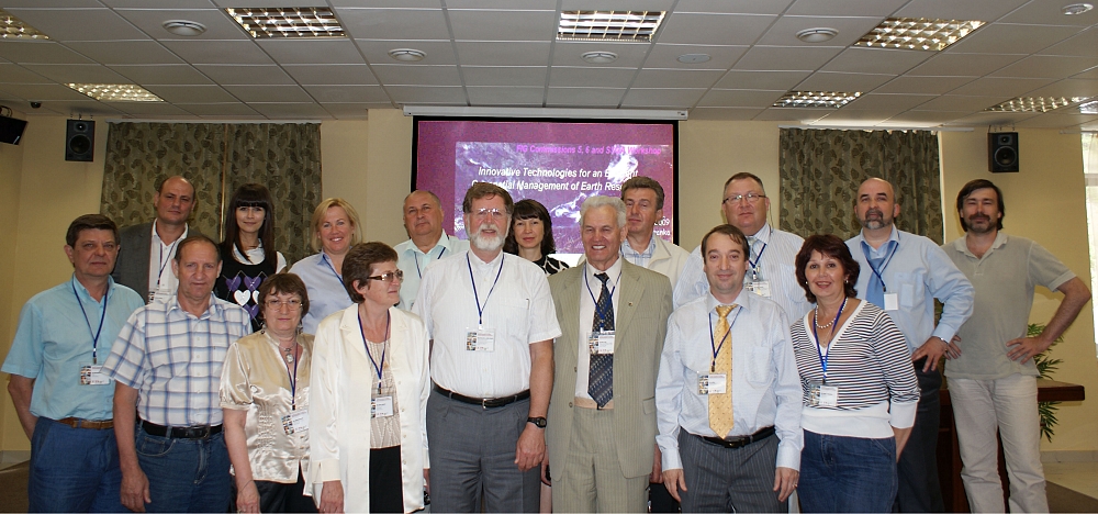
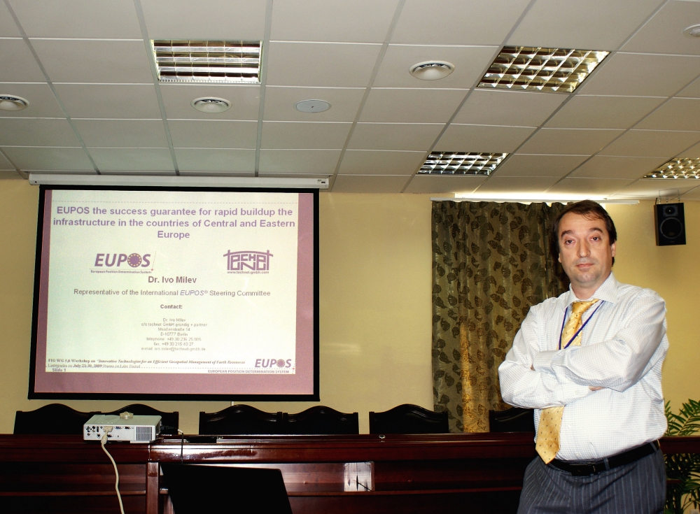
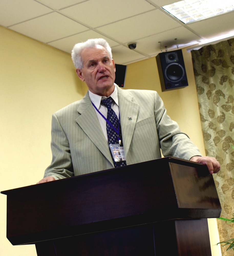
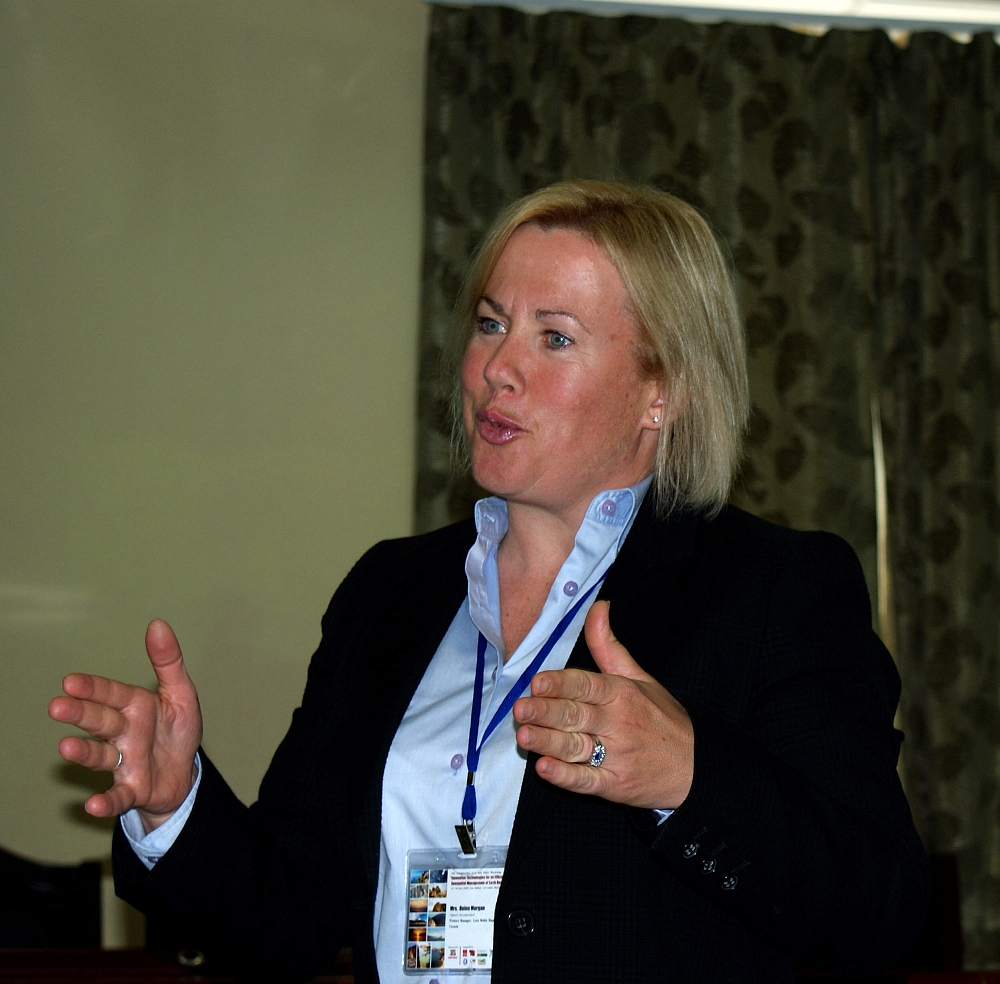
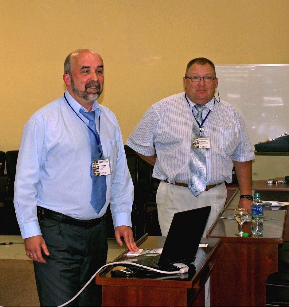
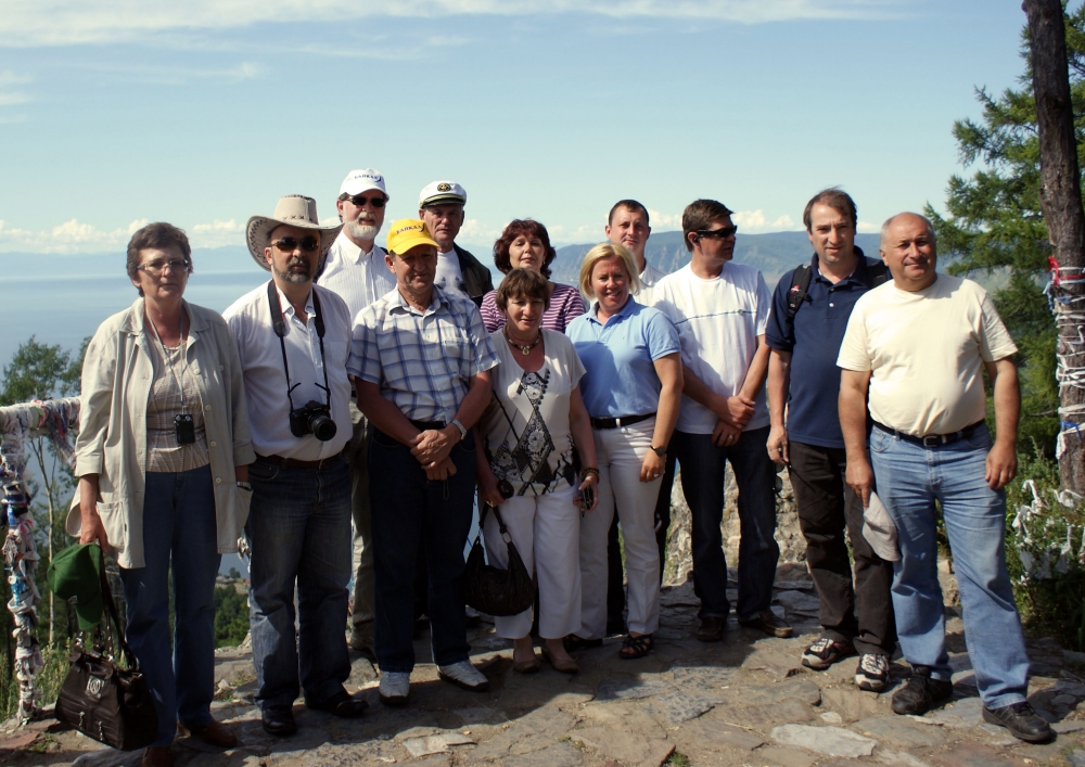
Presenters at the Workshop in Lake Baikal in July 2009. |
FIG Commissions 5 (Positioning and Measurement) and 6 (Engineering
Surveys) together with the Siberian State Academy of Geodesy (SSGA)
organised a Workshop on “Innovative Technologies for an Efficient
Geospatial Management of Earth Resources” 23-30 July 2009. The venue of
the Workshop was on Lake Baikal in the settlement of Listvyanka, Russian
Federation.
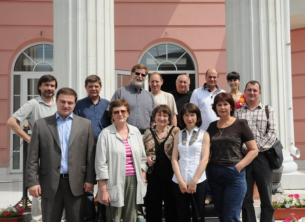
This Workshop was attended by about 40 participants from Germany, Canada
and Russia representing the Administration of Novosibirsk Region,
universities, associations and various companies. Among these companies
following should be mentioned: GIS Association, Optech Incorporated, GAZPROM
VNIIGAZ Ltd., "NPK Jena Instrument Ltd.", Altex Geomatica Company, FORES
LLC, Territorial Planning Institute “GRAD” Ltd., Irkutsk State Technical
University, JSC “Independent Resources Company”, Irkutsk Railroads Design
Institute, “ITE Siberian Fair”, etc.
Technical programme included 20 presentations in four technical sessions.
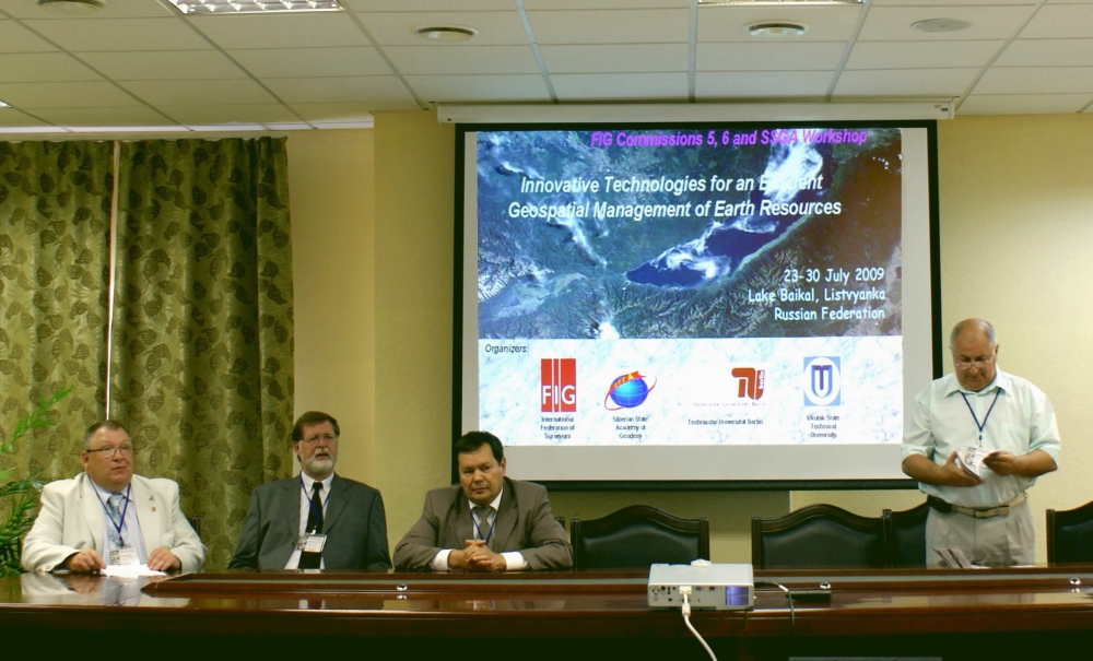
“MORION” company was the general sponsor of the Workshop. The participants
and guests were welcomed on the opening ceremony by Prof. Dr. Alexander
D. Afanasyev (Vice Rector for Scientific Studies, Irkutsk State
Technical University), Prof. Dr. Lothar Gruendig (FIG WG 6.3 Chair),
Prof. Vladimir Seredovich (SSGA, Vice Rector for Innovative
Activities), Mr. Boris I. Ivlev (Administration of Novosibirsk
Region, Director of the Foundation for Assistance to Small Innovative
Enterprises (FASIE) for Novosibirsk Region), Dr. Sergey A. Miller
(President of GIS Association), and Prof. Anatoly L. Okhotin
(President of the Baikal Union of Mining Surveyors, Head of the Department
of Mine Surveying, Irkutsk State Technical University).
A comprehensive set of topics related to the theme of the Workshop were
discussed – in an area where many new satellite systems and other sensing
technologies are being rapidly improved and are being supportive in many
applications for society. Amongst these topics are:
- the prediction of earth’s surface and engineering structures
deformation and movements in areas of tectonically and technogenically
active hazardous zones using geodetic observations;
- terrestrial laser scanning systems, their usage in architecture,
civil engineering and industry;
- GIS technologies for planning, construction and planning,
construction, operation and maintenance of oil-and-gas, industrial,
power industry plants and infrastructure;
- provision of geo-information for problem solving in ecology,
geomorphology, geology and geophysics;
- real time GNNS applications in development of oil-and-gas fields;
- Airborne Lidar, SAR and digital photogrammetric technologies and
their applications in geodesy, civil engineering and emergency situation
prediction
- earth remote sensing
The main results and outcome from the workshop are:
- Main target groups are educational bodies and the oil and gas
Industry. In main fields the rapid development of new innovative
technologies forces the need of short terms meetings over the world for
better exchange of the knowledge about the efficient usage of them.
- To achieving the millennium goals the rapid technological changes in
the main geodetic fields like geodesy, photogrammetry, GIS, remote
sensing, CORS infrastructure and wide era DGNNS augmentation systems,
has to be also a central subject in the modern educational programs. The
current state is that this is very well done in the universities in
Novosibirsk, Irkutsk, Moscow, and St. Petersburg.
- Force the interdisciplinary exchange for developing new methods and
algorithms for interpretation of the results of monitoring systems and
close loop technology guidance.
- Force the development and decrease the time between the scientific
pilot projects studies and the implementation for commercial use.
- Force the development and decrease the time for introducing of new
standards for 3D navigation and data processing.
A great attention was given to data integration receiving from airborne
lidar survey and remote sensing to solve the problems of Earth’s resources
monitoring. The presentations made by the participants (SSGA,
‘BaikalGeoService’ and ‘Optech’ companies) were devoted to the key problems
of sharing data of aerial and terrestrial laser scanning including mobile
terrestrial complexes as well as aero photographic, thermal and
hyperspectral data. Most participants emphasized, that only a combined
approach can provide the real solving of Earth’s resources management
problems.
The problems of geospatial data acquisition used for surveying,
engineering and prospecting tasks were also discussed. Mr. Vyacheslav T.
Zalutsky (PhD, Senior Geodesist, Irkutsk Railroads Design Institute,
Department of Explorations, Irkutsk) emphasized in his presentation “Some
Geodetic Technologies of Explorations on the East-Siberian Railway” how
they have combined, tested and used geodetic, surveying and GIS technologies
for needs of railway branch.
The Siberian State Academy of Geodesy has published the technical
programme and workshop proceedings on paper and a CD-ROM (including
presentations). The presentations can also be seen on
FIG Commission 6 web site.
Dr. Ivo Milev
E-mail:
ivo.milev@technet-gmbh.de
Prof. Evgene M. Medvedev
E-mail:
eugmed63@mail.ru
Mrs. Argina Novitskaya
E-mail:
argina@gmx.de,
argina.novitskaya@gmail.com
Read more:
16 August 2009
|